


La Godivelle / Lac de Servières ; (2) Traversée de la chaine des Puys sur 4 jours

PsyPezman
User
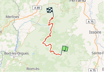

Length
74 km

Max alt
1778 m

Uphill gradient
2701 m
Km-Effort
110 km

Min alt
946 m

Downhill gradient
2698 m
Boucle
No
Creation date :
2021-07-24 09:03:36.305
Updated on :
2022-08-13 09:49:43.631
25h44
Difficulty : Very difficult

FREE GPS app for hiking
 SityTrail
IGN / Geographical institutes
SityTrail Plus
The world is yours!
About
Trail On foot of 74 km to be discovered at Auvergne-Rhône-Alpes, Puy-de-Dôme, La Godivelle. This trail is proposed by PsyPezman.
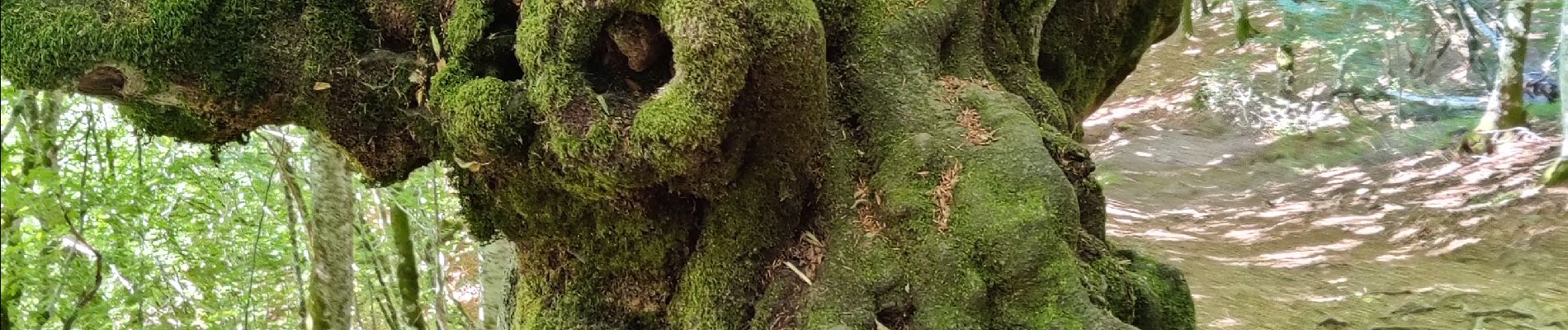
Photos
 Traversée de la chaine des Puys sur 4 jours - Photo 1")
 Traversée de la chaine des Puys sur 4 jours - Photo 2")
 Traversée de la chaine des Puys sur 4 jours - Photo 3")
 Traversée de la chaine des Puys sur 4 jours - Photo 4")

Positioning
Country:
France
Region :
Auvergne-Rhône-Alpes
Department/Province :
Puy-de-Dôme
Municipality :
La Godivelle
Location:
Unknown
Start:(Dec)
Start:(UTM)
494077 ; 5026123 (31T) N.
Comments